Yubeng Village Trek: Four Days Below the Meili Snow Mountains
Yubeng is a Tibetan village of about forty households sitting at 3,100 m under the Meili Snow Mountains, and the only way in is on foot. No road reaches it. Supplies come in on mules, the guesthouses are wooden family houses, and the main square has a single small shop. That isolation is exactly why people walk four days to get there — and why the walk itself is one of the best short treks in China.
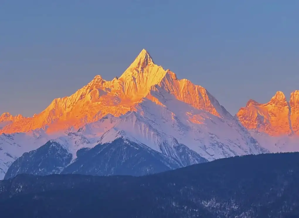
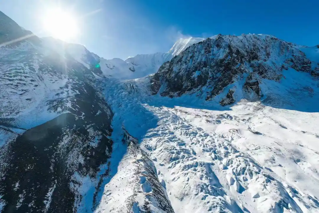
The mountain above the village is Kawagebo, 6,740 m, the highest peak in Yunnan and sacred to Tibetan Buddhists. It has never been summited, by law and by belief. What you get instead is a valley of glaciers, a waterfall that pilgrims circle, and a lake that reflects the peak on clear mornings.
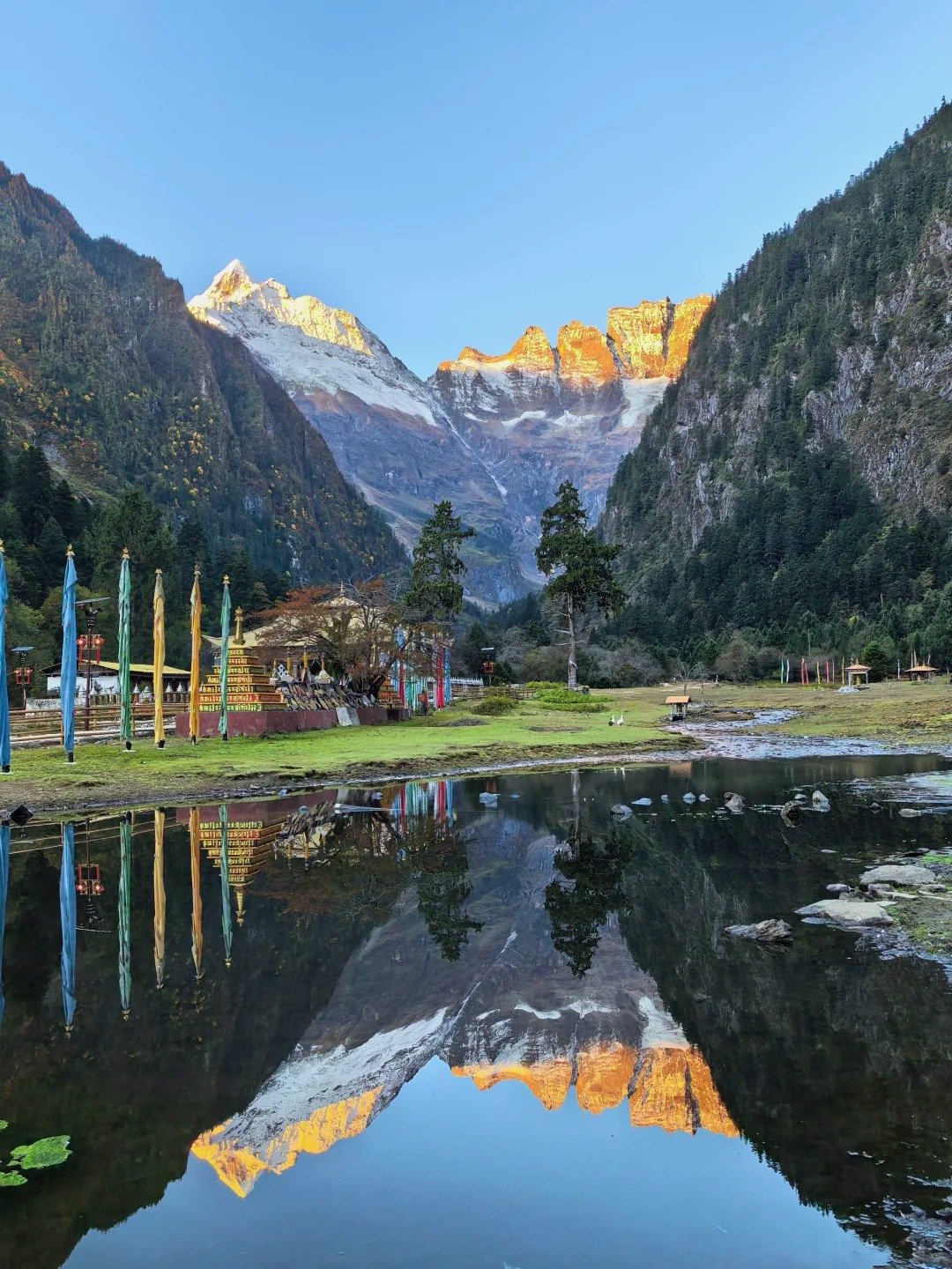
Yubeng at a glance
| Detail | What to expect |
|---|---|
| Where | Deqin County, Diqing Prefecture, northwest Yunnan, near the Tibetan border |
| Days needed | 4 from Shangri-La, 5 with a rest day |
| Walking distance | About 12 km in, 12 km out, plus 12–14 km of day hikes |
| High point | About 3,700 m at the pass above Xidang; Ice Lake around 3,900 m |
| Difficulty | Moderate — altitude, not terrain, is the challenge |
| Best months | April–May, October–November |
| Permit | Meili scenic-area ticket only; no compulsory guide |
| Sleeping | Guesthouses in the village, roughly ¥150–300 a room |
Getting to the trailhead
The trail starts at Xidang, a village on the eastern side of the Meili range. In practice the journey breaks into three legs:
- To Shangri-La — fly, or take a bus from Lijiang, which takes about four hours. Shangri-La sits at 3,300 m, so this leg doubles as your first acclimatisation night.
- Shangri-La to Deqin — a long road day of six to eight hours over the Baima pass. Most people stop at Feilai Temple, which has the classic view of the Meili range at sunrise.
- Deqin to Xidang — about two hours by road. There is no scheduled bus to the trailhead; share a van with other travellers or ask your guesthouse to arrange a driver.
Buy the Meili scenic-area ticket before you start walking. Registration at Xidang has been required in some seasons, so carry your passport and expect to write your details down.
The walk in: Xidang to Yubeng
From Xidang at roughly 2,300 m the trail climbs steadily through pine and oak to a prayer-flag pass at about 3,700 m. This is the hardest part of the whole trip, and it takes most people three to four hours. Horses and mules carry bags for a fixed fee if you would rather walk light.
Over the pass the valley opens and the descent to Upper Yubeng takes another one to two hours. The village appears below you in a bowl of forest, with Kawagebo's glacier hanging above it. Total walking time: four to six hours.
There is an alternative exit route through the Ninong gorge on the western side of the valley — a long descent of six to seven hours to the Nu River road. It is spectacular and considerably more exposed than the pass. Do not attempt it alone or in rain.
Two days in the valley
Ice Lake
The walk to Ice Lake climbs about 600–700 m from the village to a small glacial lake sitting under the north face of Kawagebo. Allow five to six hours return. The climb is relentless but the trail is clear, and the lake is the closest most visitors get to the mountain. Start early: cloud builds through the afternoon.
Sacred Waterfall
The waterfall is a gentler half-day, three to four hours return, climbing to about 3,600 m. Tibetan pilgrims walk here to circle the falls, and the trail is strung with prayer flags. Treat the site with the same quiet respect you would in a temple.
Costs
| Item | Rough cost per person |
|---|---|
| Meili scenic-area ticket | Around ¥150–230 depending on the season and which sites it covers |
| Transport Deqin–Xidang and back | ¥100–200 shared, more for a private car |
| Guesthouse room in the village | ¥150–300 a night |
| Meals | ¥40–70 per meal |
| Mule or horse for luggage | ¥150–300 depending on load and distance |
Prices in this part of Yunnan move with the season and with fuel costs. Treat these as planning figures and confirm locally.
Where to sleep
Upper and Lower Yubeng both have guesthouses, all family-run, all wooden, all heated by wood stove or electric blanket. Rooms are basic but warm, and the food is home cooking: yak meat, potatoes, wild vegetables, butter tea. Book ahead in October, when domestic visitors arrive for the autumn colours.
There is no ATM and card payments are unreliable. Bring enough cash for the whole stay.
When to go
October and November are the best months: dry, clear, and cold at night, with the mountain visible most mornings. April and May are greener and wilder but cloudier, which matters if seeing Kawagebo is the point of the trip. July and August are the monsoon — landslides, leeches, and a trail that turns to mud. The pass can close with snow between December and March.
Practical notes
- Altitude — you sleep at 3,100 m and walk to nearly 4,000 m. Spend a night in Shangri-La before Deqin, drink more than you think you need, and treat a bad headache as a reason to descend, not to push on.
- Cash — bring it. There is no reliable signal for payments and no ATM in the valley.
- Power — electricity is limited in some guesthouses. A power bank is worth the weight.
- Weather — afternoon cloud is normal, storms are not. Do not start the pass or the Ninong exit late in the day.
- Respect — this is a living Tibetan village, not a theme park. Ask before photographing people, and walk clockwise around the pilgrimage sites.
Where to go next
If you want more of Yunnan, the Yunnan travel guide covers how the province fits together, and southwest China places Yubeng alongside the region's other mountain valleys. The Tiger Leaping Gorge trek is the easier two-day option on the same trip, and the full list of China's best hikes shows what else is worth the journey. Pack from the mountain hiking packing list, and check the best time to visit China before booking.
Frequently asked questions
How many days do you need for Yubeng?
Four days is the practical minimum from Shangri-La: one day to travel to Xidang and walk in over the pass, one full day for Ice Lake, one for the Sacred Waterfall, and one to walk out. Five days gives you a rest day, which matters at 3,100 m. Add a travel day on each side if you are coming from Lijiang or Kunming.
How hard is the trek into Yubeng?
The walk in is moderate, not technical. You climb from about 2,300 m at Xidang to roughly 3,700 m at the pass, then descend to the village. Most people take four to six hours. The altitude is the real difficulty, not the terrain. Ice Lake adds another 600 to 700 m of climbing in a single day, which is where most people feel it.
Do you need a guide or permit for Yubeng?
No permit beyond the Meili scenic-area ticket, and no compulsory guide. Local registration has been required at Xidang in some seasons, so bring your passport. Most independent travellers walk in without a guide; a guide is worth it if you plan the Ninong gorge exit, which is steep and easy to lose in bad weather.
How do you get to the Yubeng trailhead?
Fly or take a bus to Shangri-La, then travel to Deqin by road, which takes most of a day. From Deqin or Feilai Temple it is roughly two hours by road to Xidang, where the trail starts. There is no public bus to the trailhead itself, so you either share a van or arrange a driver through your guesthouse.
Where do you sleep in Yubeng?
In family-run guesthouses in Upper and Lower Yubeng. Rooms are simple: wooden buildings, shared or private bathrooms, electric blankets in cold months. Expect roughly ¥150–300 for a room and ¥40–70 for a meal. There are no cars and no road, so everything arrives on foot or by mule.
When is the best time to trek to Yubeng?
April to May and October to November. Autumn is the most reliable: dry air, clear views of Kawagebo, golden larch. Spring is greener but cloudier. July and August bring monsoon rain, landslides and leeches, and the pass can close in heavy snow between December and March.
Keep reading
Hiking & Trekking
Wugongshan: The Two-Day Grass Plateau Hike in Jiangxi
Most Chinese mountains are about rock and temples. Wugongshan is about grass. Above roughly 1,600 m the trees …
Hiking & Trekking
How Hard Is Gongga Trekking? Altitude, Day Lengths and Honest Comparisons
Gongga has a reputation in China that travel brochures rarely explain. People say it is wild, unpredictable …
Hiking & Trekking
Mount Gongga Hiking Guide: Routes, Altitude and What the Trek Really Costs
Gongga — Minya Konka to the Tibetans who live around it — is 7,556 m, more than a kilometre higher than any …